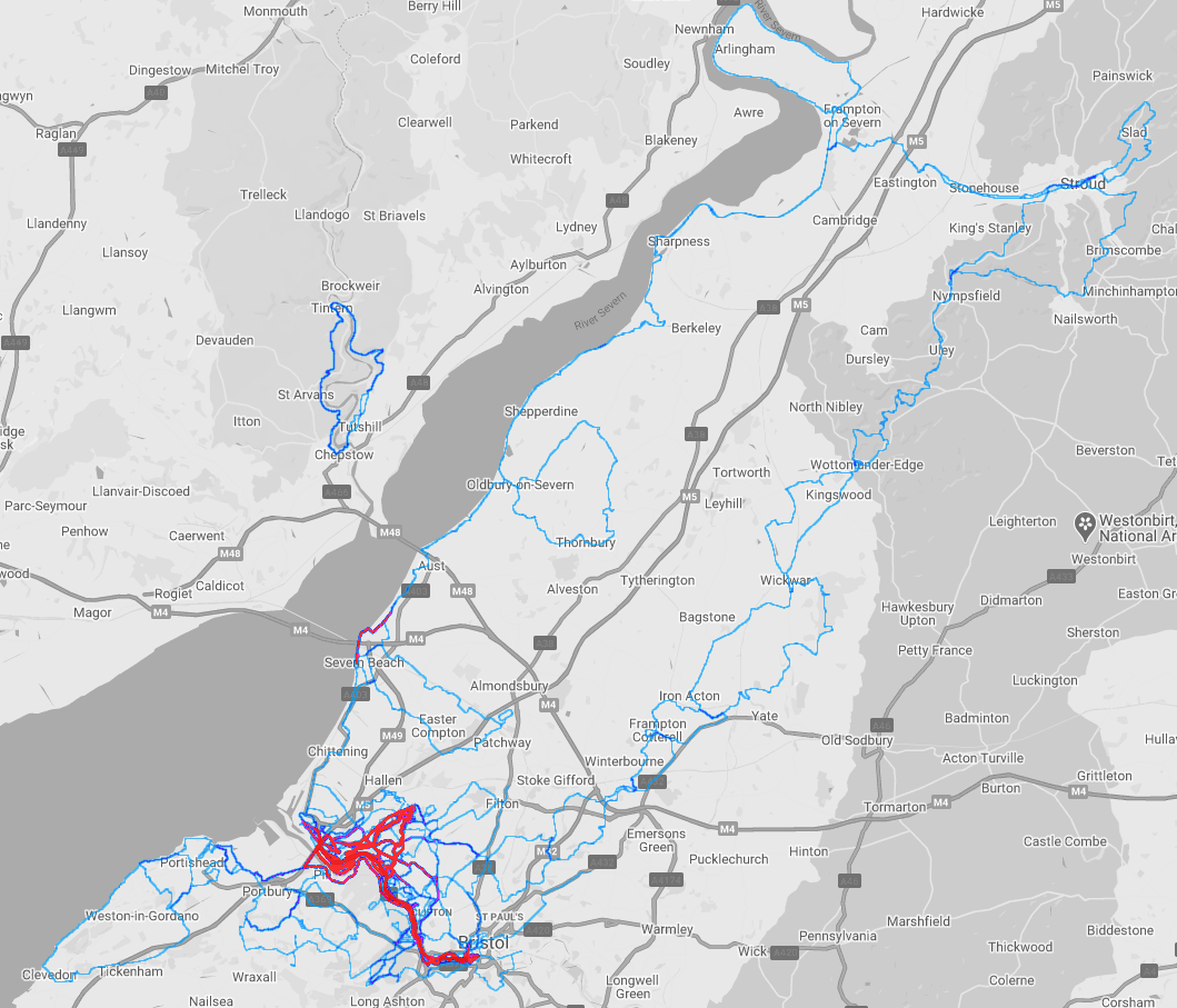
The Bristol - Stroud Loop 2020

During 2020 I started to struggle in finding new trails to do a long run over each weekend. This issue wasn't a lack of choice, but choice paralysis: there were just too many places I could go that I ended up struggling to pick one!
To combat this; I had an idea: what if each long run contributed to a wider goal on the heatmap? (The Strava Heatmap feature is pure class and can help with long term motivation, they even have a Global Heatmap to see popular places to run). That would mean each weekends long run was just the next segment along the route, and easier to plan.
The Plan
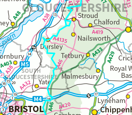
I currently live in Bristol, with my hometown being Stroud, roughly 30 miles away by car. Separating them is a set of fantastic long trails:
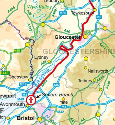
On the western side tracing the river is the Severn Way, a trail that goes from Bristol right through to Gloucester, up past Birmingham then into Wales. I could follow this most of the way to Stroud, then cut across eastwards just before Saul Junction.
Whilst on the eastern side two trails (and a bit of DIY between them) would help me reach Stroud. Firstly the Frome Valley Walkway that stretches from the center of Bristol to Yate (the red dotted route on the below map).
Then following that the Cotswold Way stretches past Yate right up to Stroud.
The plan was to combine these three trails together over a series of long runs, each weekend starting at where I'd stopped the previous weekend and progressing along the line further.
Each run would have to be either an out and back or loop so I could get back to the car.
Stage 1: The Severn Way
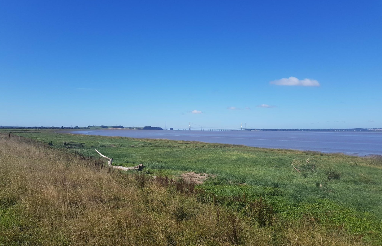
Previously I had already done a series of runs from the center of Bristol, through Shirehampton and up to Severn Beach, where the Severn Way starts in earnest. Severn Beach holds a special place in my heart as, along the promenade under the bridge, is where I did my Couch to 5K training and learned to run!
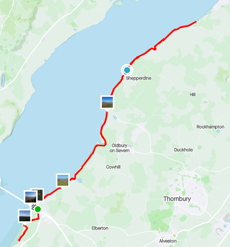
The first segment started in Aust, running down towards Severn Beach to connect where I'd finished my old Couch to 5K route, then looping round for a run past Oldbury-on-Severn, finishing just before Berkeley.
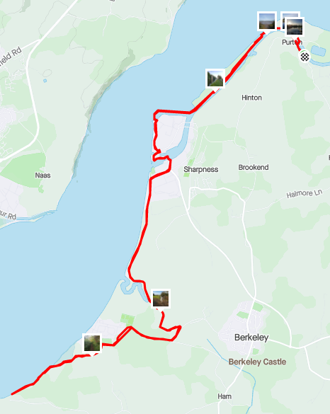
Next up was a run from Purton, past Sharpness and back to where I'd previously finished off.
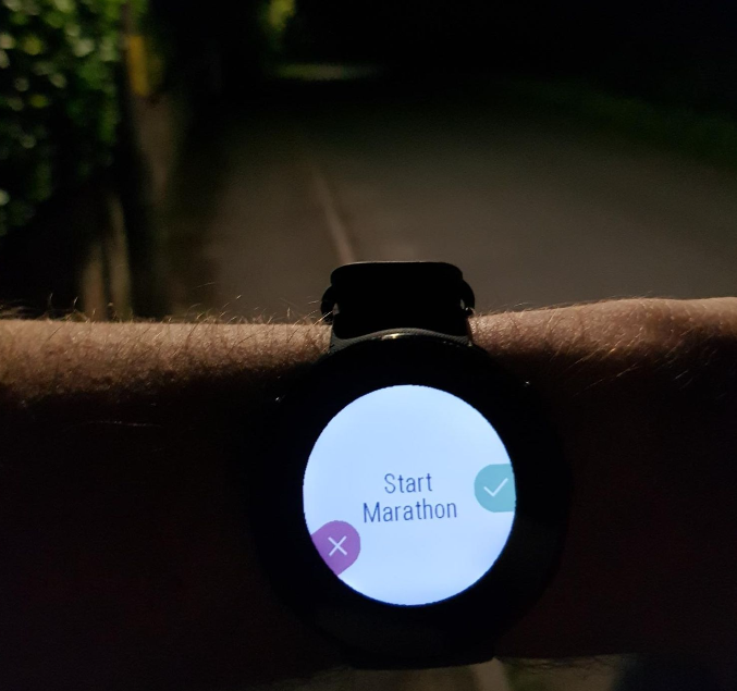
At this point I had a realisation; the final out and back route from Purton to Stroud was almost exactly the length of a marathon and relatively flat. I'd been training for a marathon for a while then, but hadn't made the leap yet. Guess it was fate that this would be the first go.
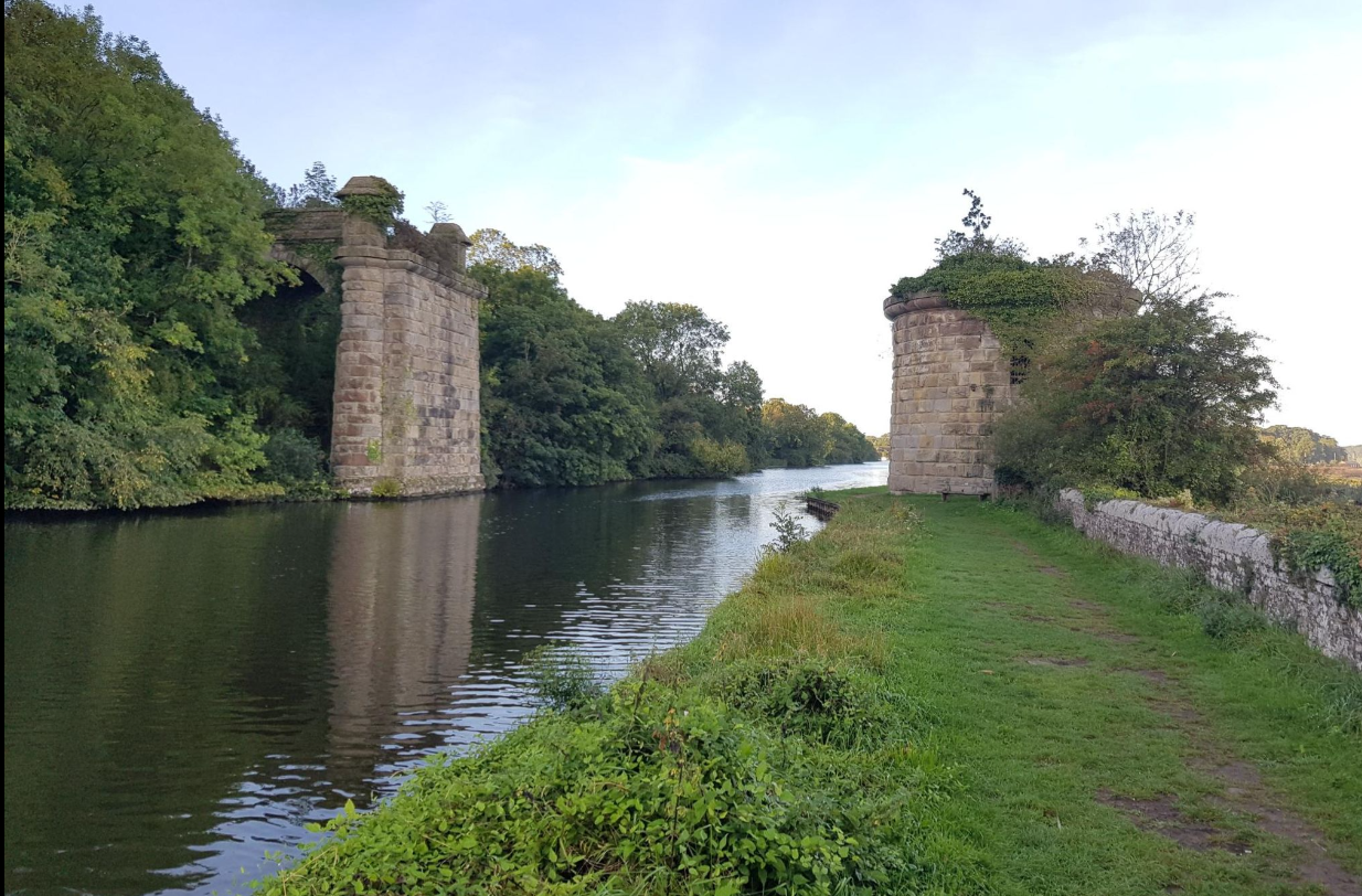
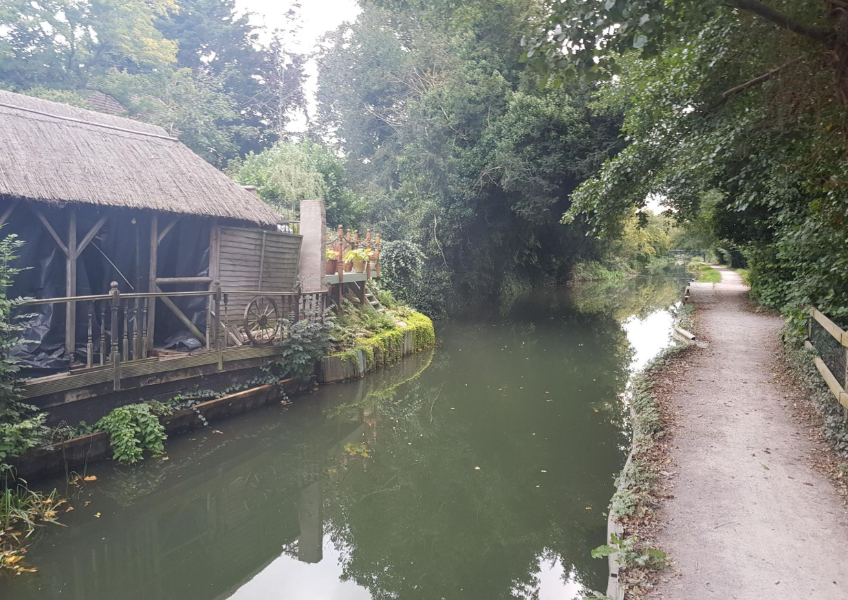
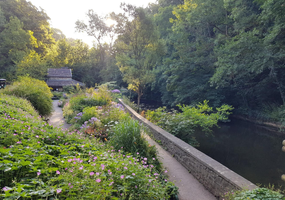
The final route into Stroud was along the Gloucester canals, before cutting across to the Stroud Water Navigation canals into the town. Popped in on my folks for a water refill then returned to Purton.
That was the west side of the loop done, now for the longer, hillier east side!
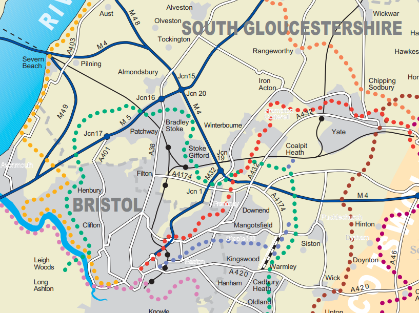
Stage 2: Frome Valley Walkway
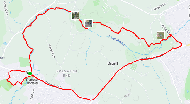
Starting close to Eastville Park; the Frome Valley Walkway stretches along the river right through to Yate. My first run was a loop along the trail to Huckford Quarry under the old Viaduct:
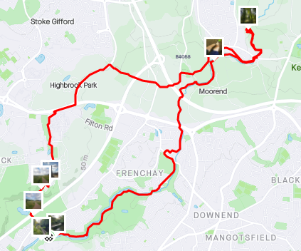
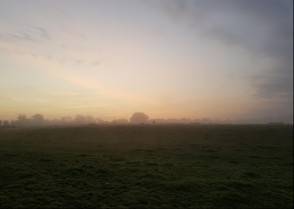
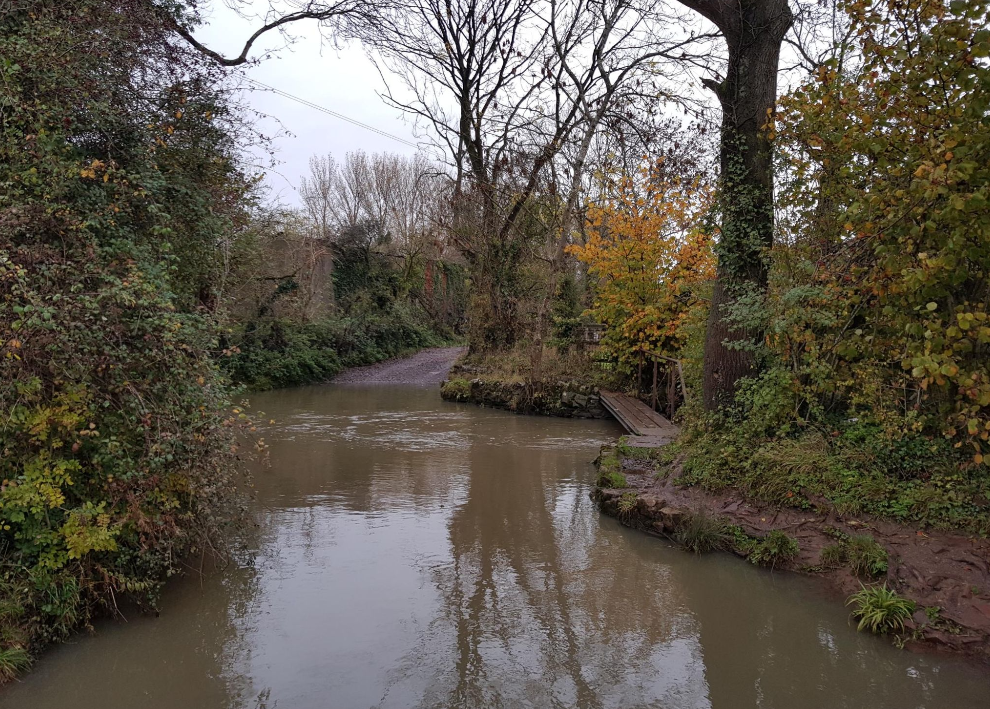
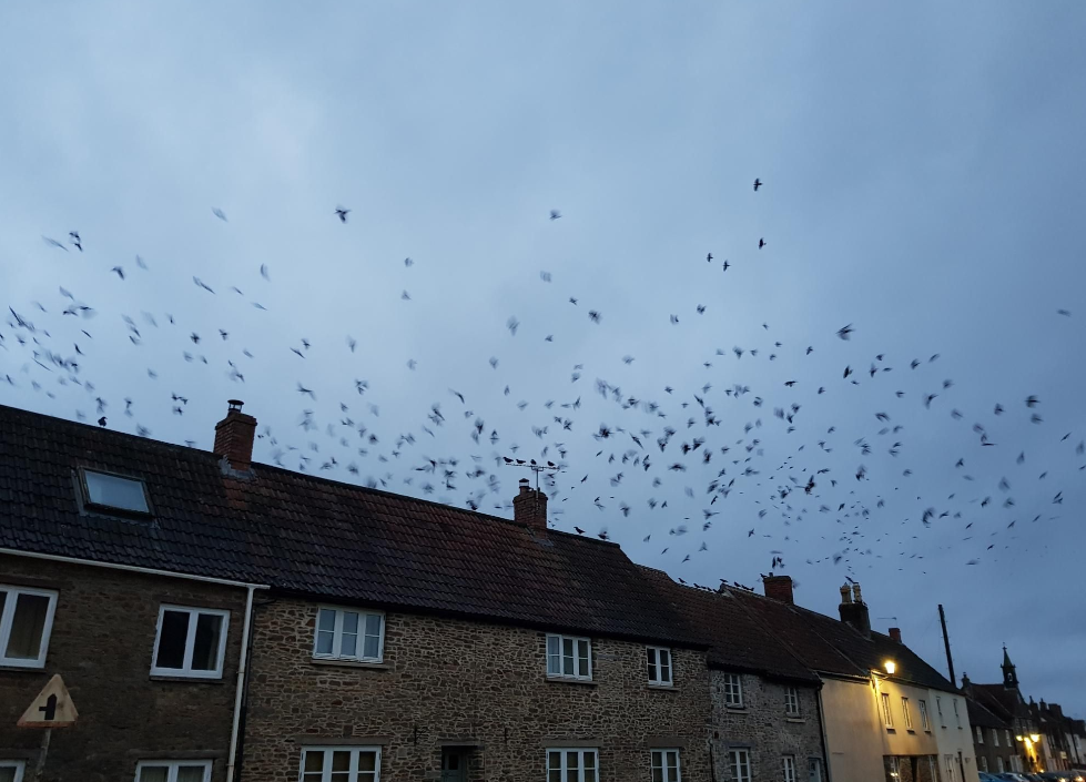
Next up was a misty morning run from Winterbourne, past the Viaduct again and up to Frampton Cotterell. This one felt like the first proper run of winter with biting cold juxtaposed against beautiful skies
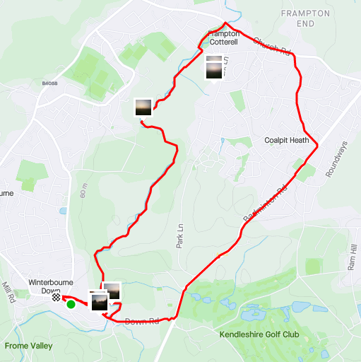
Finally, to reach the edge of Yate was a last short loop:
Stage 3: DIY Connecting Runs
At this point I hadn't realised if I went slightly beyond Yate to the east I could hook up with the Cotswold Way, it would have saved me a lot of planning. Instead I was making runs using the Strava Route Builder to go north off the Frome Valley.
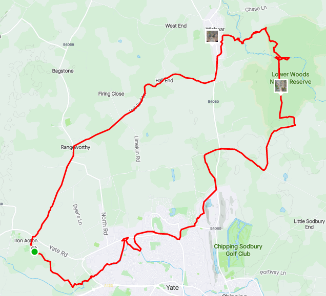
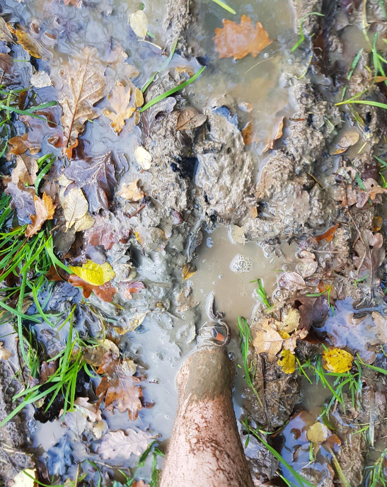
The first of these was, by far, the muddiest run I have ever experienced. Starting in Iron Action to the west of Yate, I cut into the town then up to a nature reserve called Lower Woods. This was a mistake, it was practically a bog by this point, and a trickling stream I was meant to cross to get to Wickwar was now more of a deep river!
The run from Wickwar wasn't any better, however instead of contending with mud I had instead accidentally planned the majority of the run along a fast road with no path or verge. Thankfully it was early in the morning so few cars to dodge, but I think I preferred the bogs!
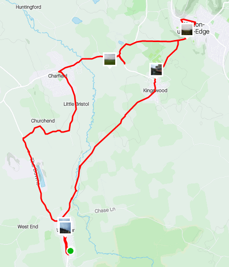
This run ended in Wotton-under-Edge and connected me to the woods and hills of the Cotswolds.
Stage 4: Cotswold Way
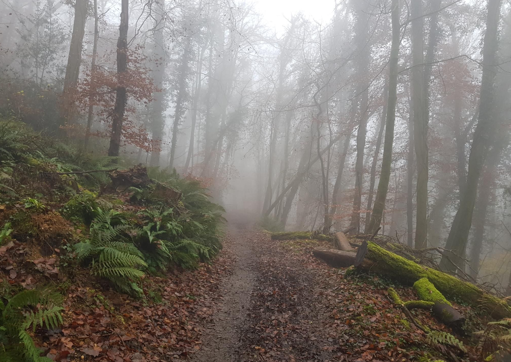
For this run I'd used Komoot to plan a trail run route through the woodlands north of Wotton, up through Uley then connecting to the Cotswold Way at Coaley Peak.
It was a slow run, mostly stopping to check the map every 2 minutes, and the longest I had done since the marathon to Stroud. Unfortunately the battery on my phone died 10k away from the car on the way back, however through the kind directions of various dog walkers and a pair of horse riders, I managed to get back to Wotton unscathed.
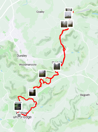
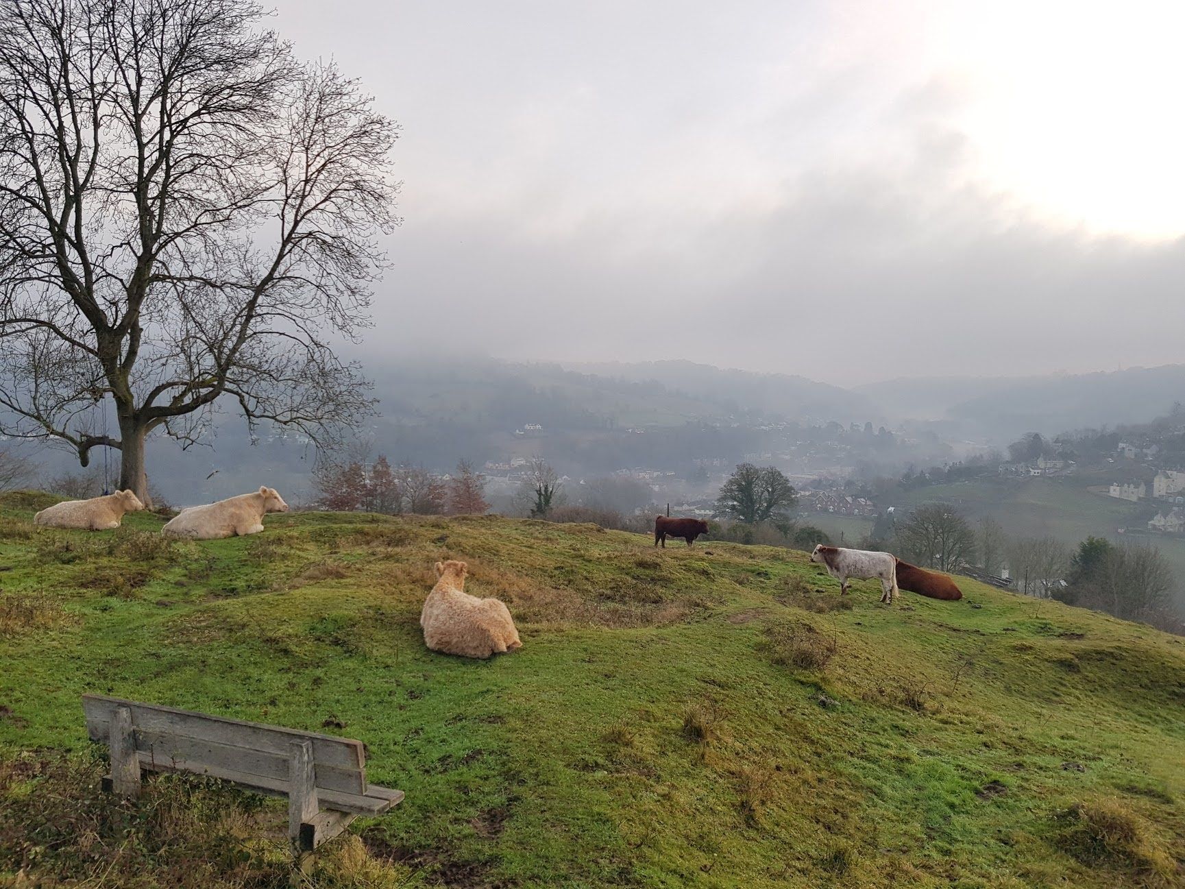
Coaley Peak was a cracking place to stop and somewhere I'd recommend visiting for walks and runs. It sits high in the Cotswolds overlooking the valley right over to the Severn and has plenty of trails leading away (most of them downhill mind!) to more adventures.
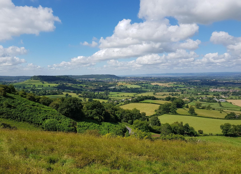
It was here I started my final run down to Stroud, before climbing back up to Cotswold Way to the Peak, avoiding the roads for the most part and following trails across the Five Valleys.
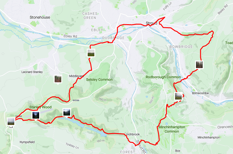
The Completed Circuit
With the last run into Stroud, the loop was completed.
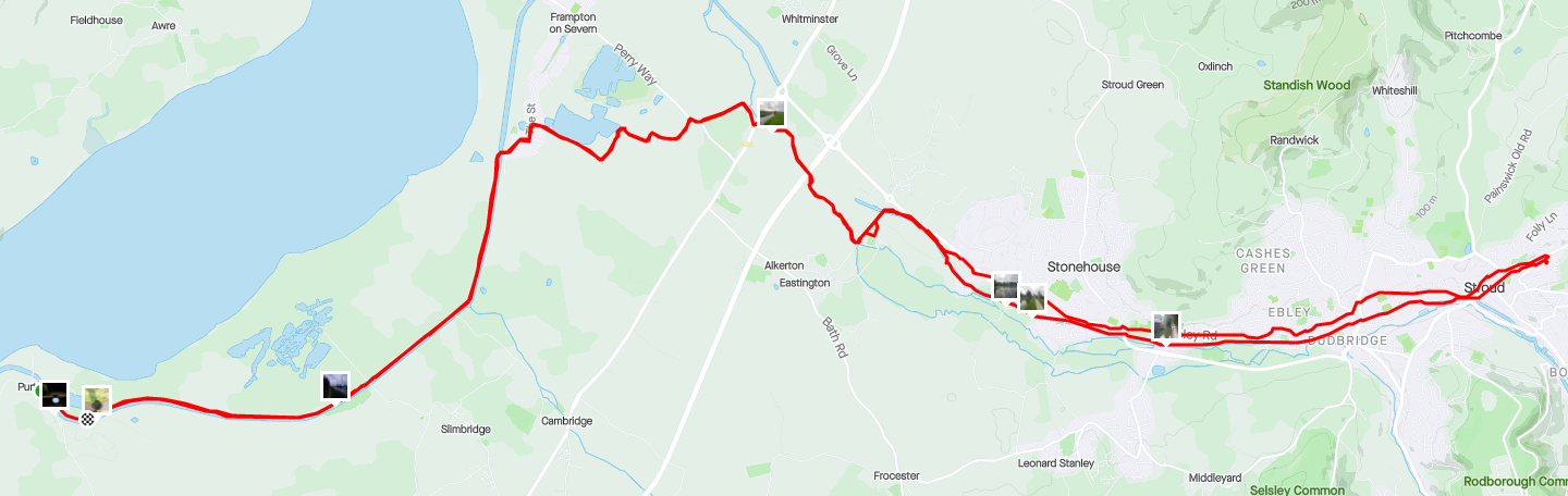
Counting every run that made up the loop it took from October 2019 to December 2020 to complete, with the loop itself covering a rough distance of 150 km (excluding the return trips to the car!).