Bath Skyline - Friday Route Recommendation
A circular route along the hills overlooking the city offering up great views and varied scenery

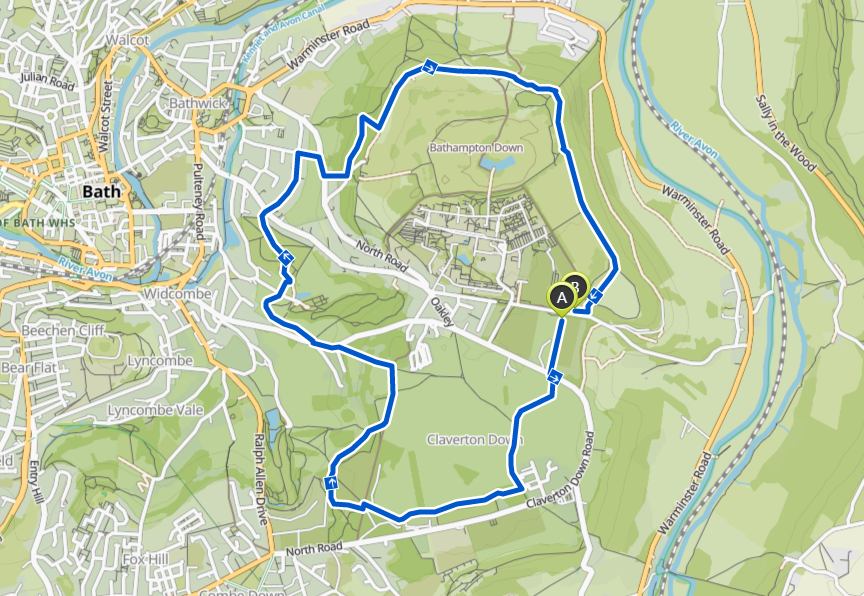
Distance: 9km
Elevation Gain: 209m
Type: Trail
Route Link: Komoot | Strava
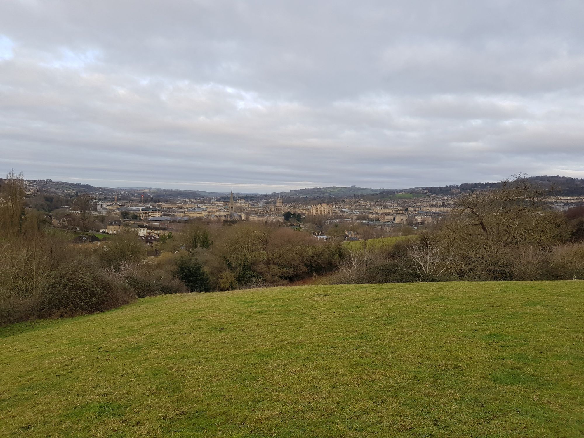
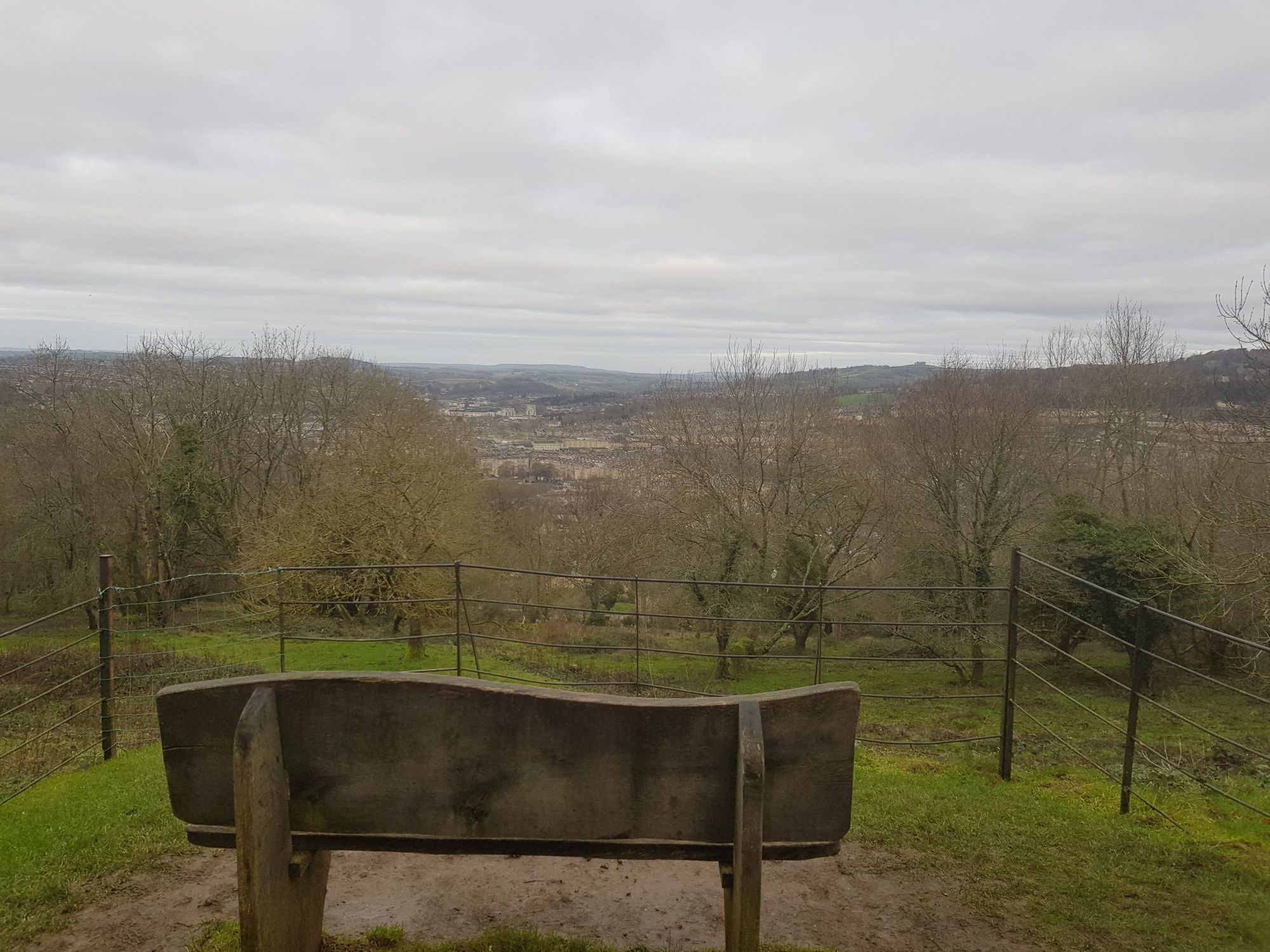
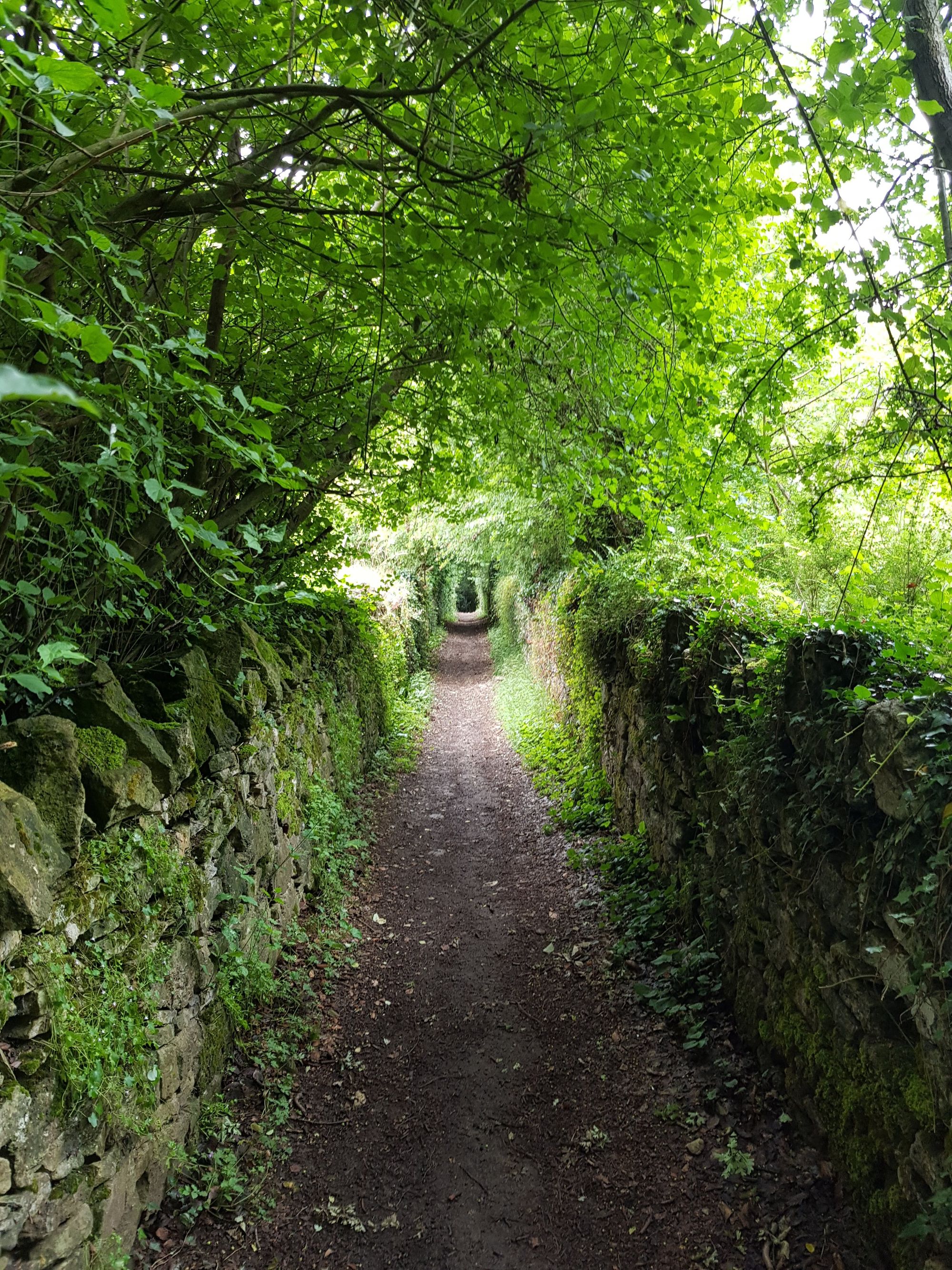
The Bath Skyline walk is a circular route along the hills overlooking the city, offering up great views and varied scenery as you make your way around the loop.
Starting at Bath University (where you tend to be able to get a parking spot) it proceeds south through the woodlands of Claverton Down.
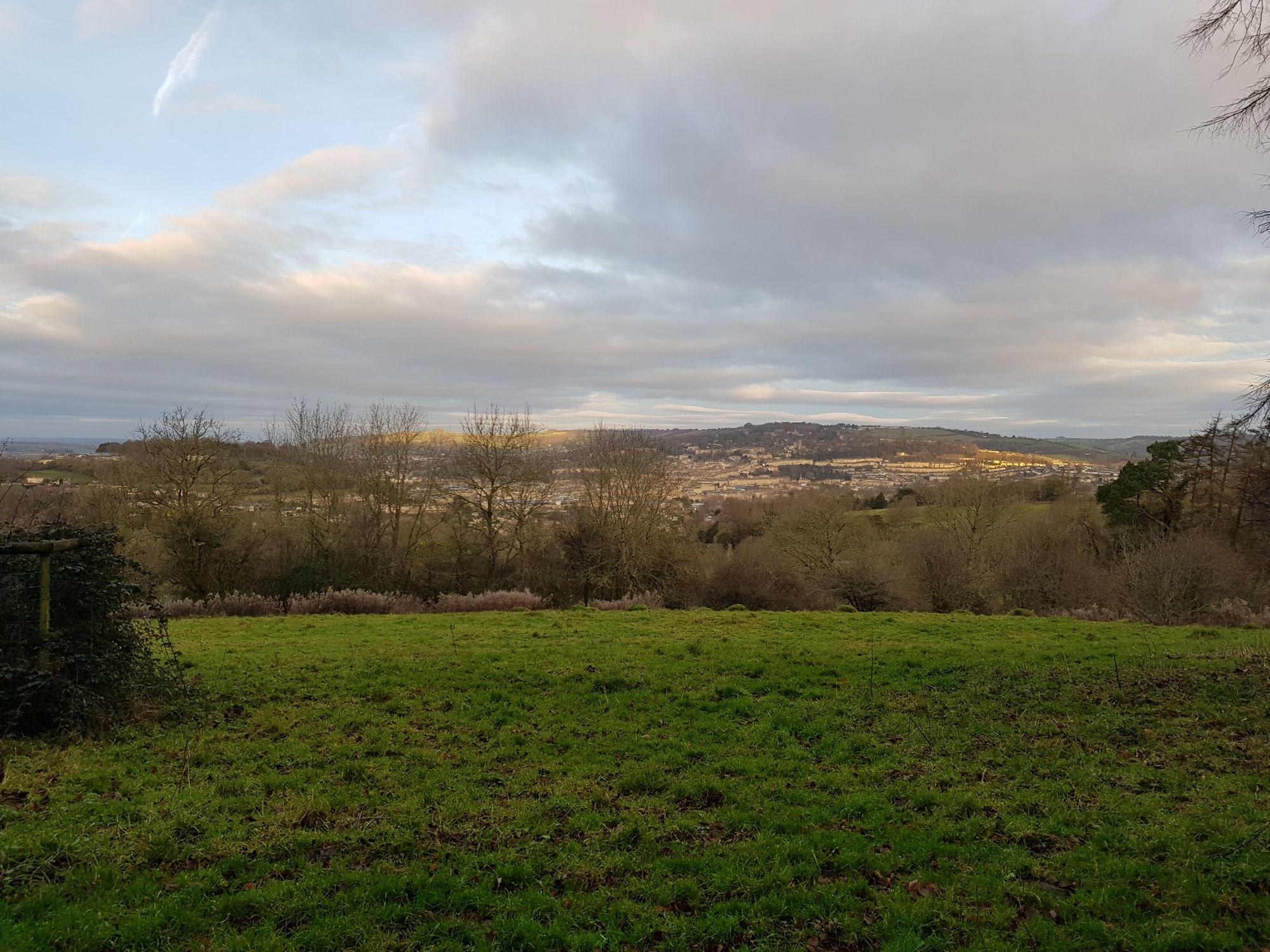
From there it descents onto fields overlooking the city, before coming into a short residential stretch.
Afterwards the northern section crosses the golf course before leading back to the University.
They also run a 5k Park Run through the woodlands that's worth checking out (when park runs become a thing again). I know this as when I last did the route I accidentally crashed one 🙈.